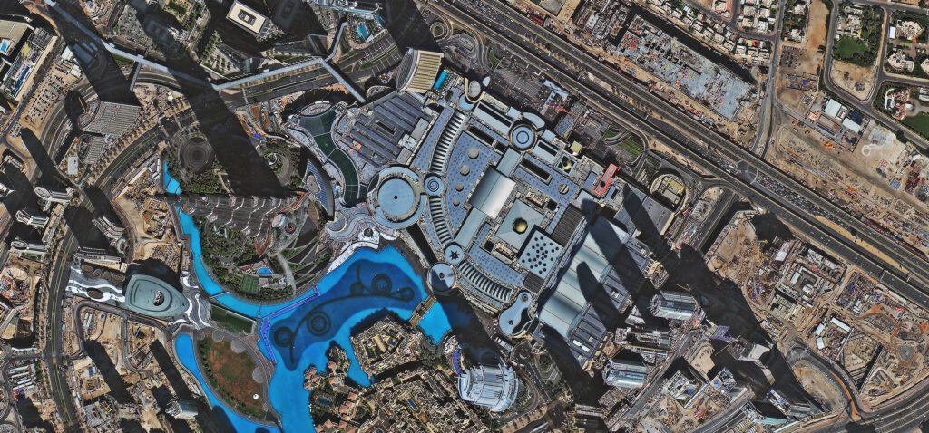
GIS Satellite Imagery
Leading GIS Imagery and Mapping System since past 10 years in Nepal.
Home -> GIS Satellite Imagery
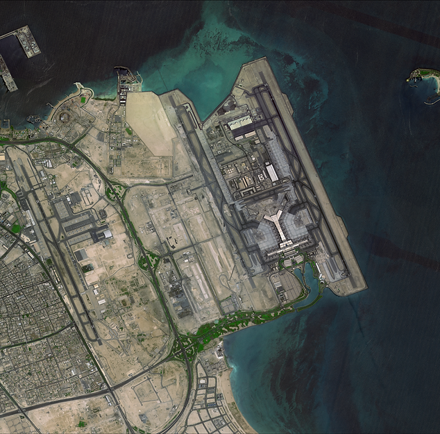
IMAGES THAT CAPTURE ALL
Data collected by a series of 40 on-orbit Earth observation satellites including:
- Ground Sampling Distance (GSD) ranging from 0.5m to 30m optical data
- Submeter optical data with daily revisit globally Optical (panchromatic, multispectral & hyperspectral)
- C-band radar up to 1m resolution
NEXT LEVEL MONITORING

Global Coverage

daily re-visit

all-weather day & night earth observation
CUSTOM MADE SOLUTIONS
Get custom made and specific solutions with our satellite tasking capability to meet your project requirements. Here is a glimpse of what we offer:
- Priority levels set to your needs
- Flexible collection window, up to 365 days time window for data collection.
- Images from very high-resolution satellites Superview 1/2/3/4
- See-through clouds ability
- Competitive rates and excellent service

SUPERVIEW
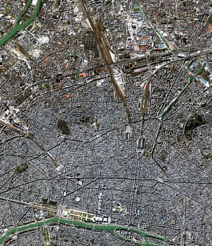
Accessible price for very high resolution at 50cm
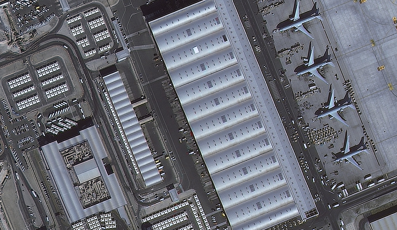
EARTH SCANNER (JL-1KF01)
The world’s first 136km swath optical satellite at 0.5m resolution

Superview Constellation and Earth Scanner
Accessible price for very high resolution at 50cm
(JL-1 KF-01, Jilin Stereo GF02A/02B, Jilin GXA)
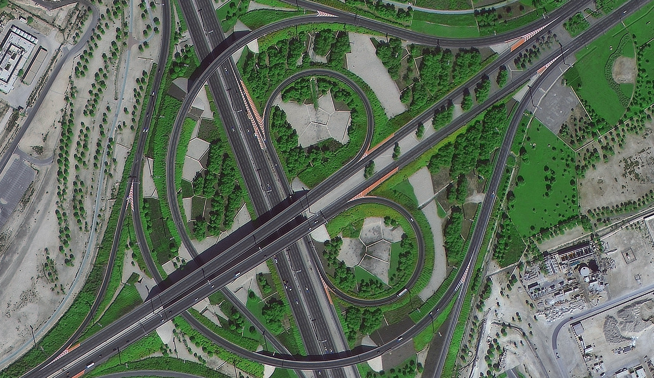
NaturEYE
A virtual constellation of 10 satellites at medium resolution (2 to 5m) offering weekly revisit capacity.
(GF-1A/B/C/D, GF-6, ZY Tri-Stereo ZY-3 01/02, HyperScan JL-1 GP01/02, CBRERS)
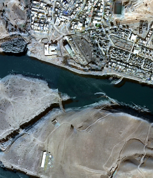
GF- 4
The world first geostationary satellite allows real-time change detection such as forest fire monitoring.
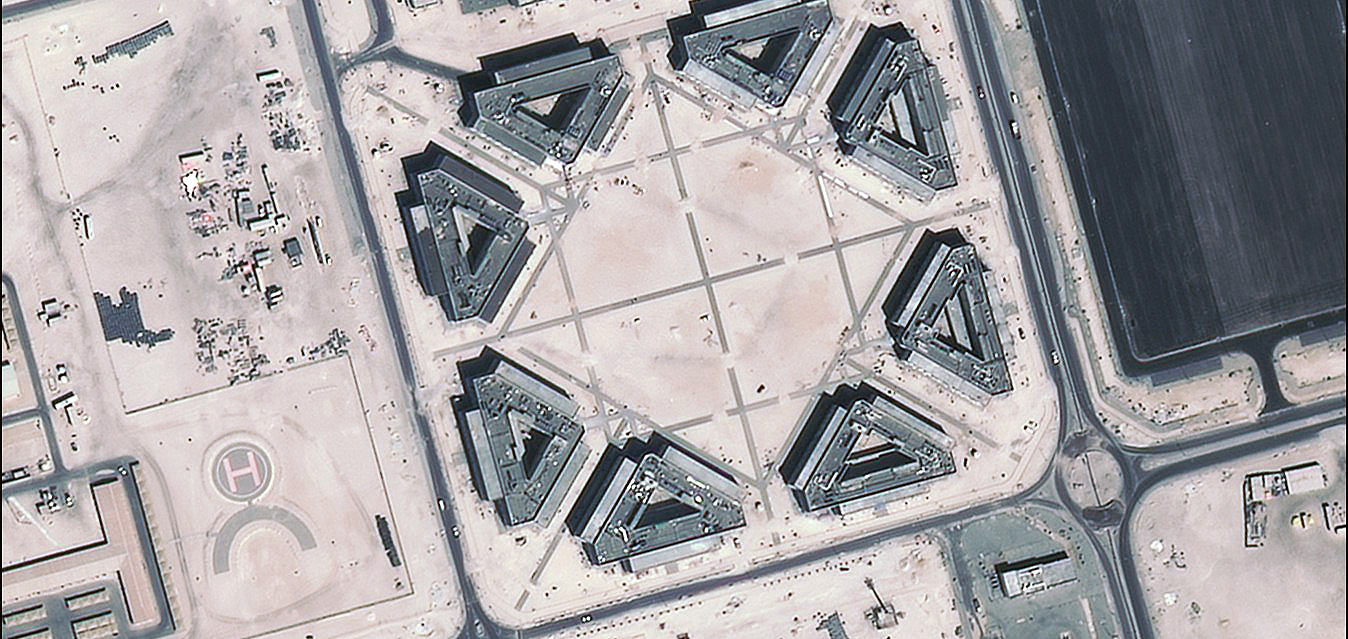
HyperScan JL-1 GP01/02
Hyperspectral imagery at 5m resolution for a better analytic solution for natural resource monitoring.
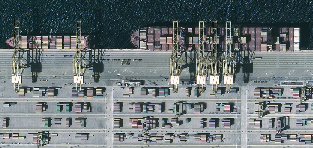
GF-7, ZY Tri-Stereo ZY-3 01/02
Stereo Imaging at both submeter and medium resolution allowing you to build your 3D mapping.
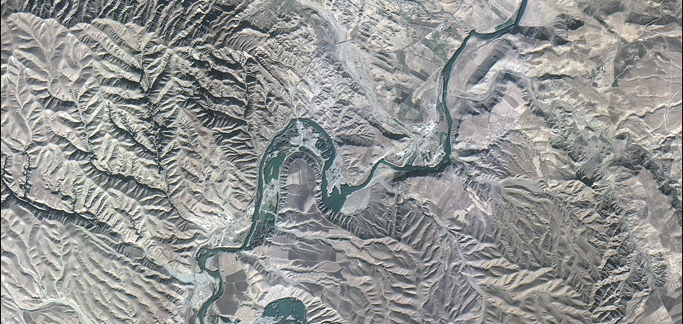
GF- 3
C-band SAR satellite very high resolution at affordable cost.
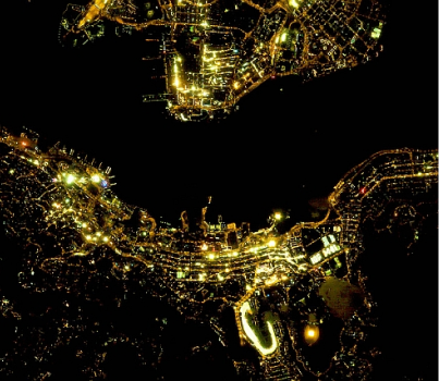
NightVision & Video Constellation
A constellation of 6 video satellites with submeter color video and night imaging.
JL-1 SP03/07/08 and JL-1SP04/05/06
EARTH OBSERVATION GEOSPATIAL SOLUTIONS
A key player in the market
Thanks to +40 sources of satellite-based Earth observation imagery, FST is uniquely positioned to be a key player in the geospatial market and act as a prime contractor to provide complex turnkey integrated geospatial solutions.
Our offer includes direct receiving station for near real-time access to satellite imagery, centralized geodata hub of satellite imagery and processed geospatial data in the country for government and commercial users.
